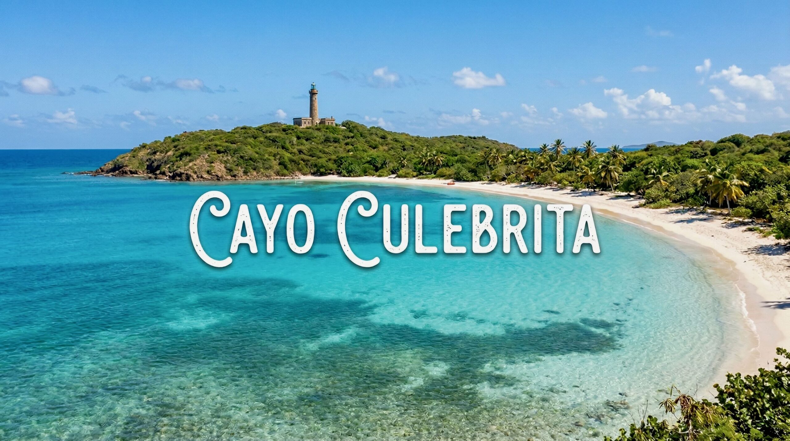
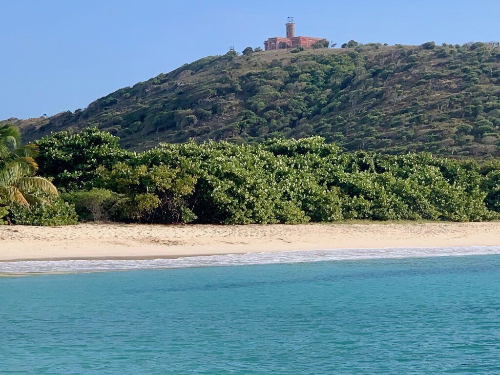
To understand Culebrita, you have to understand its isolation. As part of the Culebra National Wildlife Refuge, designated by Theodore Roosevelt in 1909, the island is strictly protected. There are no hotels, no shops, and no paved roads. It is a subtropical dry forest rising out of the turquoise sea, surrounded by coral reefs that have remained largely untouched by the tourism found elsewhere in the archipelago.
The topography is a dramatic mix of soft and hard. To the west and south, you find calm, shallow bays with water so clear it looks like liquid glass. To the north and east, the Atlantic Ocean crashes against volcanic rocks and limestone cliffs, carving out tide pools that have become legendary.
The island itself is relatively small—a mile long and barely half a mile wide.
Things We Loved Most About Cayo Culebrita
1. Trail to the Lighthouse
We couldn’t wait to hike the trail to the lighthouse, (I love lighthouses.)
The trail is a short: roughly 0.8 miles long. It is a pretty path: sometimes wooded, other times not.
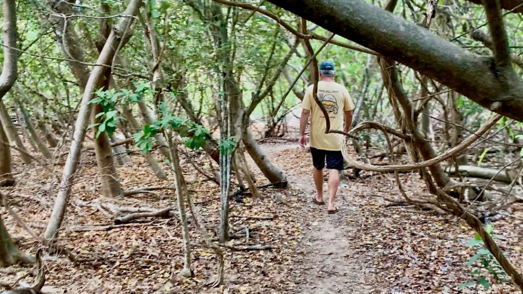
It’s an easy hike and not too steep.
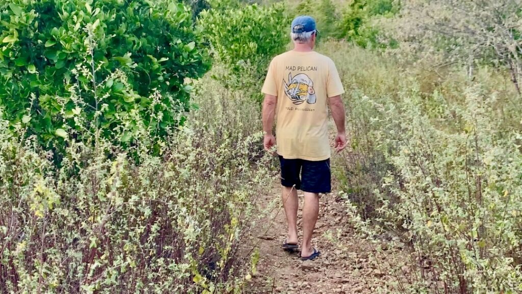
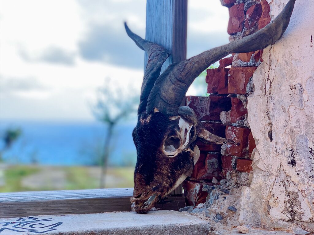
Along the way, some people encounter the island’s only permanent residents: wild goats. Unfortunately, we didn’t see any when we were here.
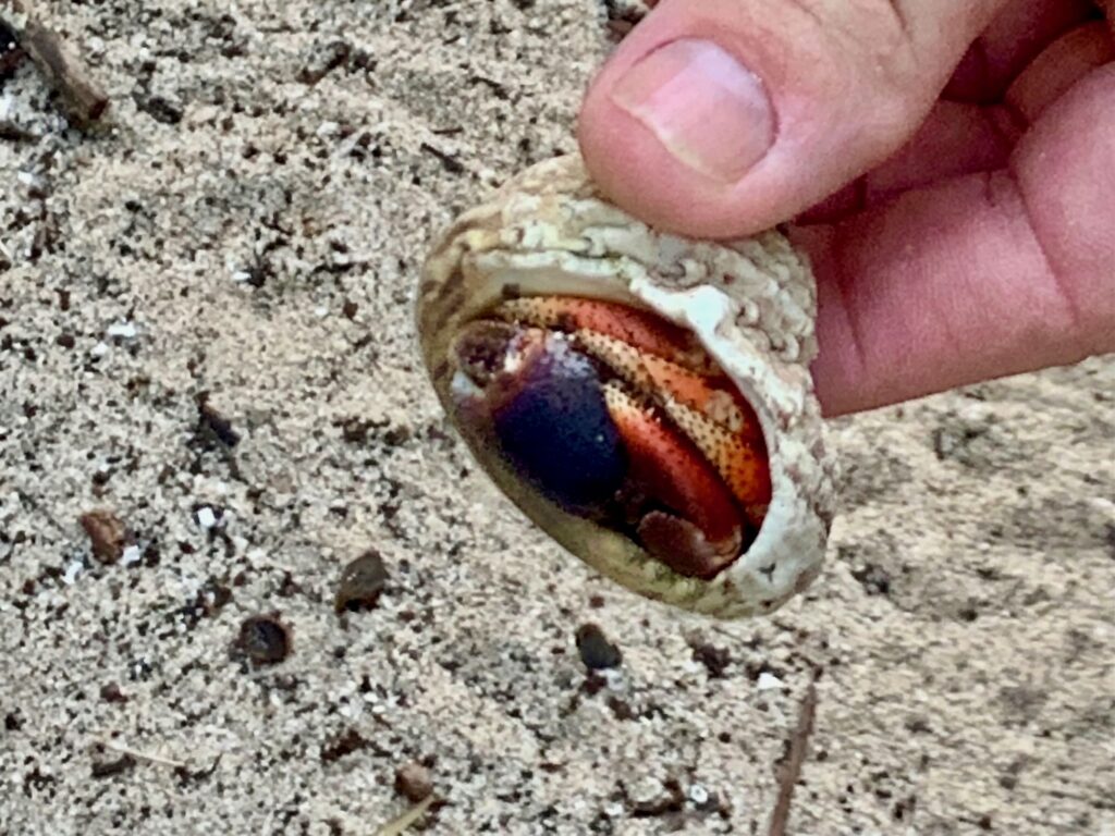
We did, however, see lots of hermit crabs.
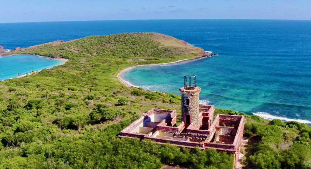
2. Faro Isla de Culebritas
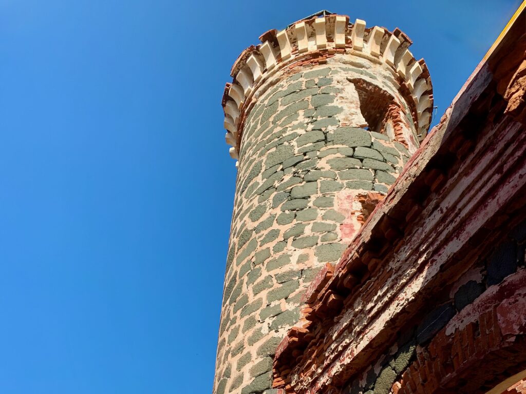
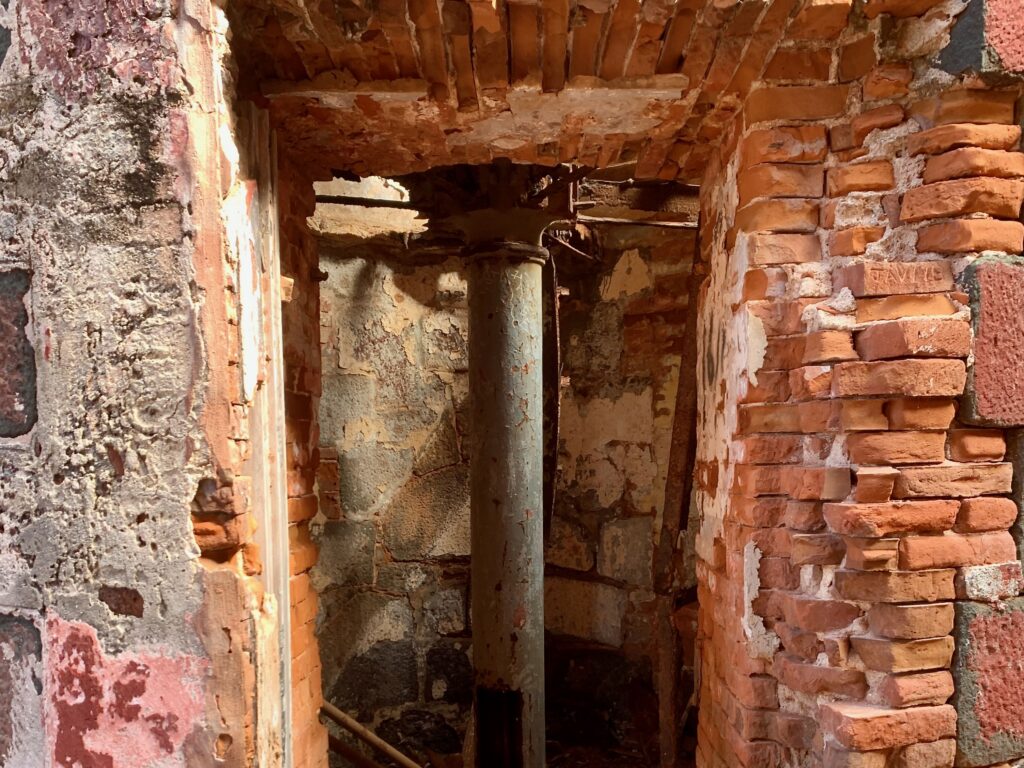
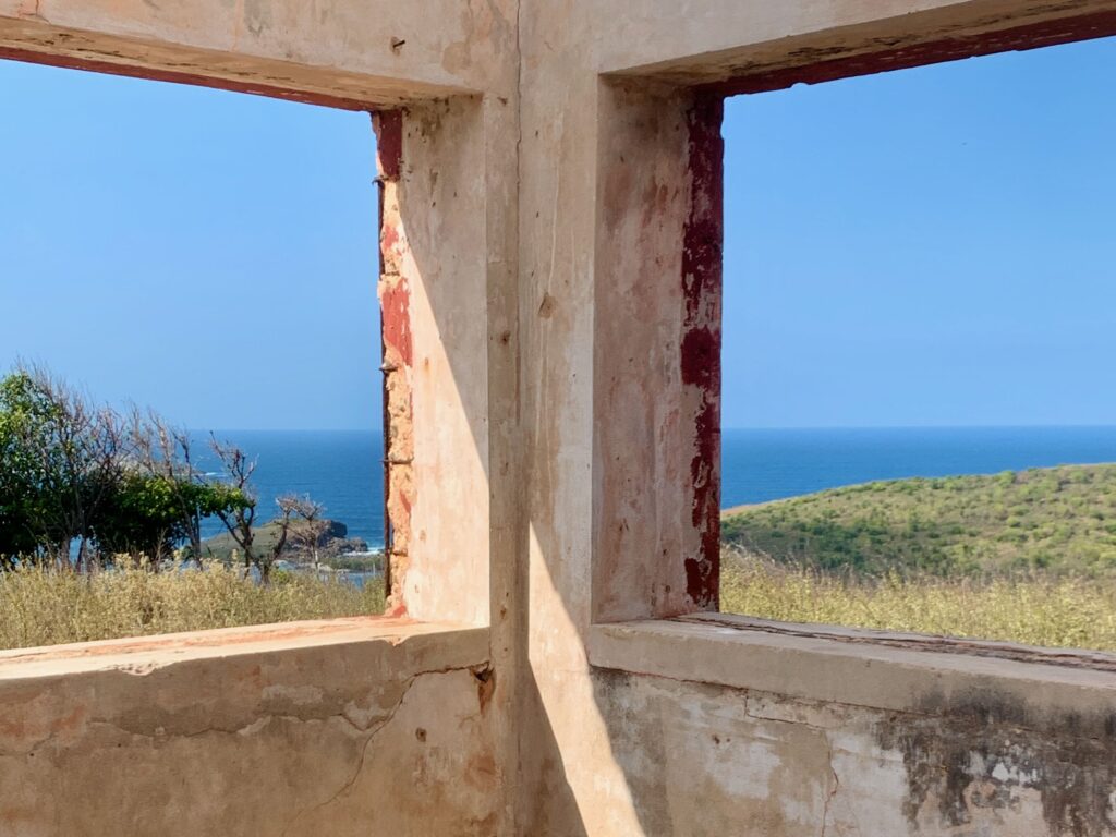
Speaking of the lighthouse, Faro de Isla de Culebrita is one of the oldest and most remote lighthouses in the Caribbean. Designed by the Spanish government as part of an extensive maritime safety system, the facility was constructed from 1882 to 1886. It served a critical role in guiding ships through the treacherous Virgin Passage, a key shipping lane connecting the Atlantic Ocean to the Caribbean Sea.
Architecturally, the structure features a unique stone-masonry design, with a tower rising from the center of a T-shaped keeper’s dwelling. It was originally equipped with a fourth-order Fresnel lens, which was visible for roughly 12 nautical miles. The lighthouse was automated in 1959 and eventually deactivated in 1975 when it was replaced by a solar-powered light on a separate steel skeleton tower nearby.
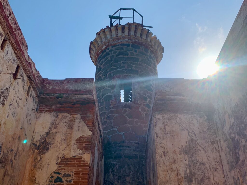
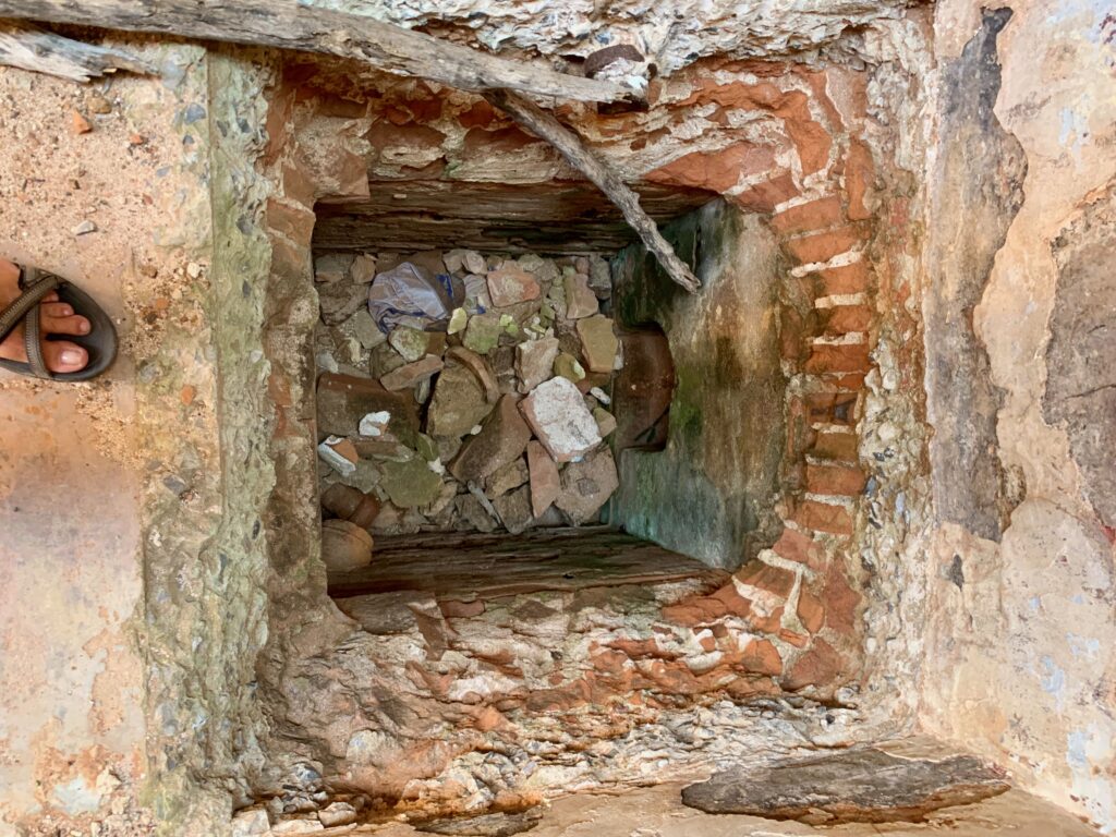
Despite its inclusion on the National Register of Historic Places in 1981, the lighthouse has suffered significant structural deterioration due to hurricane damage and neglect.
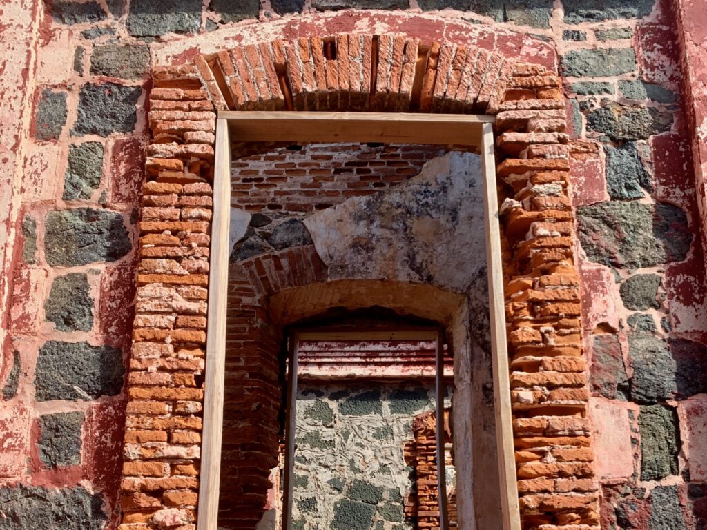
There is a beautiful tiled floor underneath the rubble:
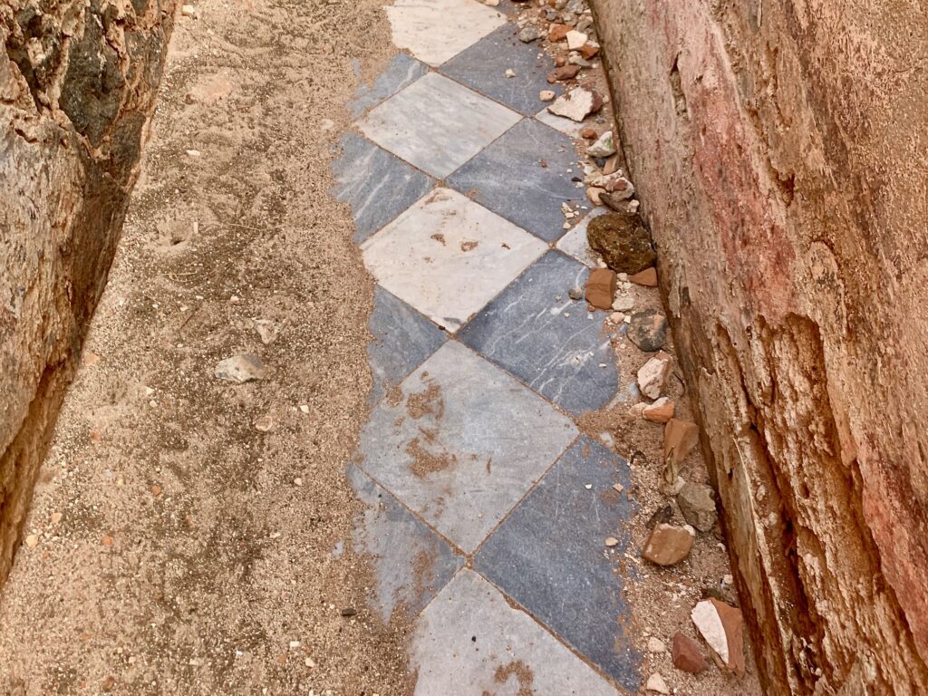
Speaking of the floor, watch your step!
The 360-degree views from the lighthouse are breathtaking.
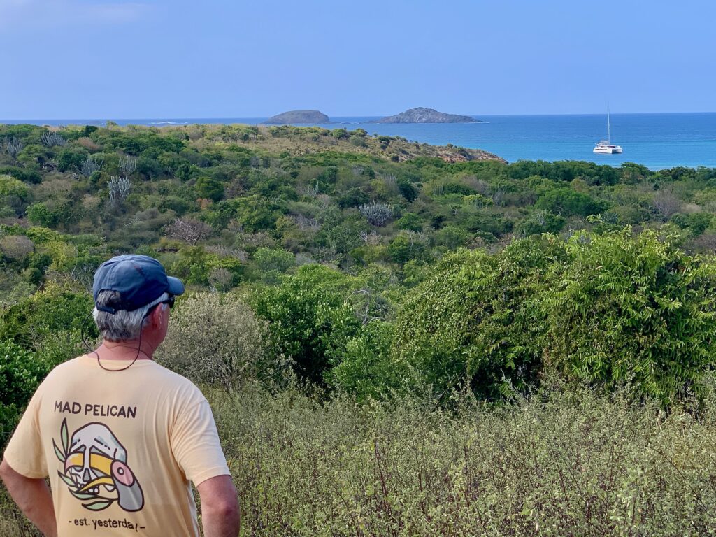
After wandering around the lighthouse for a while and appreciating the amazing views, we headed back to Playa Tortuga.
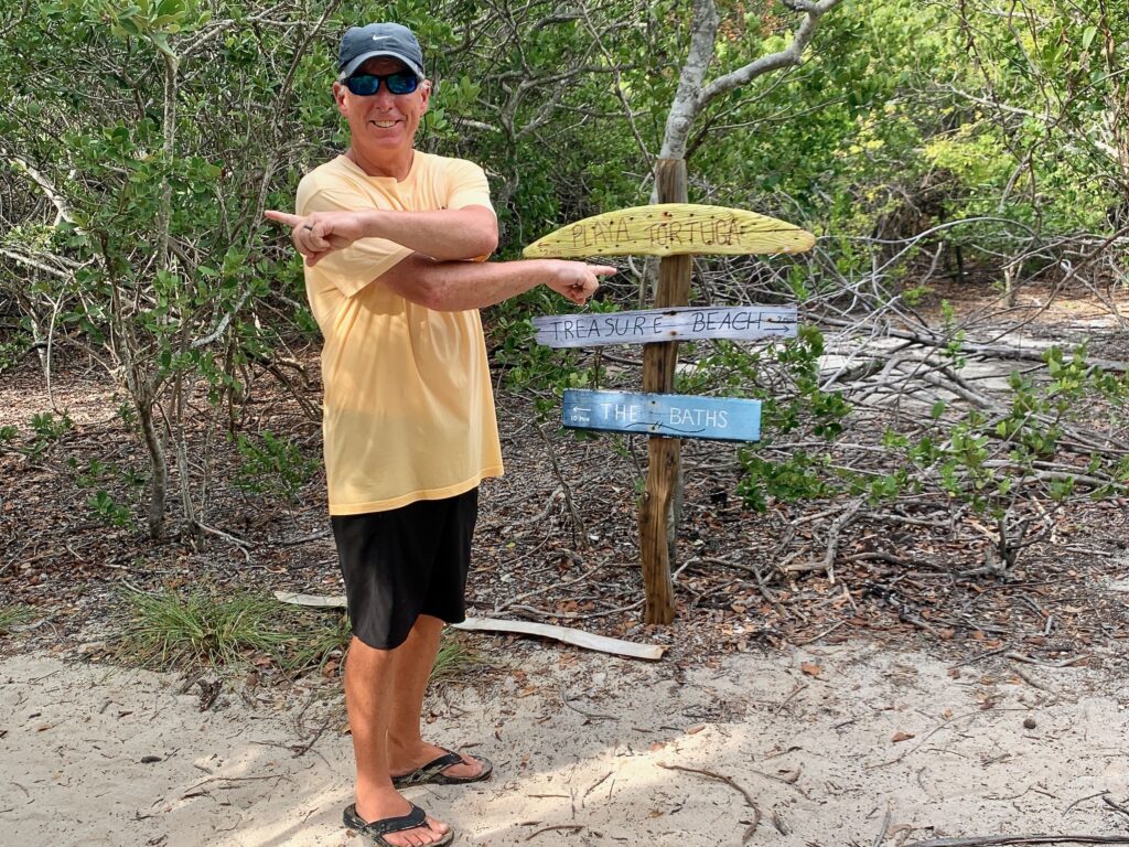
3. Playa Tortuga
Located on the north side of the island, Playa Tortuga is widely considered one of the most pristine and protected beaches in the Spanish Virgin Islands. The beach is named for the green sea turtles that use the bay as a critical feeding ground and the white sand shoreline as a nesting site. Due to its status as a nature reserve, the area is managed by the U.S. Fish and Wildlife Service, ensuring the preservation of its delicate ecosystem.

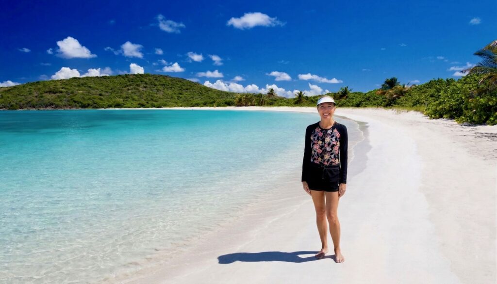
The beach is a crescent-shaped bay characterized by shallow turquoise waters and is completely undeveloped. The seabed here is primarily covered by seagrass, which sustains the local turtle population.
We spent quite a while here, relaxing and swimming in the crystal-clear water.
Getting Here
Reaching Culebrita requires a bit of planning, which is exactly why it remains so pristine. You cannot fly or drive here, and there is no regular public ferry servicing the island.
- Water Taxis: This is how most people arrive. Several operators in Culebra (leaving from the town of Dewey or Flamenco Beach) offer round-trip transit. Prices usually range from $60 to $100 per person.
- Charters: If you are traveling with a group, chartering a catamaran or powerboat for the day is the most comfortable way to see the island. The fees often include lunch and snorkeling gear.
- Private Yacht: That’s what we did.
Getting Around
There are no roads, no cars, and no buildings on the island. Other than the lighthouse, it is completely undeveloped.
Final Thoughts
Cayo Culebrita is more than just a beautiful destination; it is a reminder of what the Caribbean looked like before the arrival of resorts and cruise ship piers. The fact that the lighthouse is crumbling is a tragedy of heritage, but the fact that the beaches remain undeveloped is a triumph of conservation. There are two things we didn’t get to: the Baths and the abandoned military vehicle on the west side of the island. If we return, I would like to see them.
This quiet, primative island is a place for the wanderer, the naturalist, the dreamer. It is a tiny speck of land in a vast sea, proving that sometimes the best things in life are the ones that take a little extra effort to find. We were really glad to have experienced it.
You can see a map of Culebrita here.

Originally experienced in March of 2024; content refreshed in March of 2026.